Specific Vector and Gridded Data Products
Find data file names for a region; read VMAP0, GSHHG, and AVHRR
data
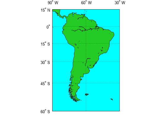
Find data file names required to cover a geographic region and read data files in certain formats. Find file names for DTED, GLOBE, GTOPO30, and USGS DEM data. Read AVHRR, VMAP0, and GSHHG data.
Functions
Featured Examples
You can also select a web site from the following list:
Americas
- América Latina (Español)
- Canada (English)
- United States (English)
Europe
- Belgium (English)
- Denmark (English)
- Deutschland (Deutsch)
- España (Español)
- Finland (English)
- France (Français)
- Ireland (English)
- Italia (Italiano)
- Luxembourg (English)
- Netherlands (English)
- Norway (English)
- Österreich (Deutsch)
- Portugal (English)
- Sweden (English)
- Switzerland
- United Kingdom (English)